Skip to content

Cart

Your cart is empty

Continue shopping

Featured products

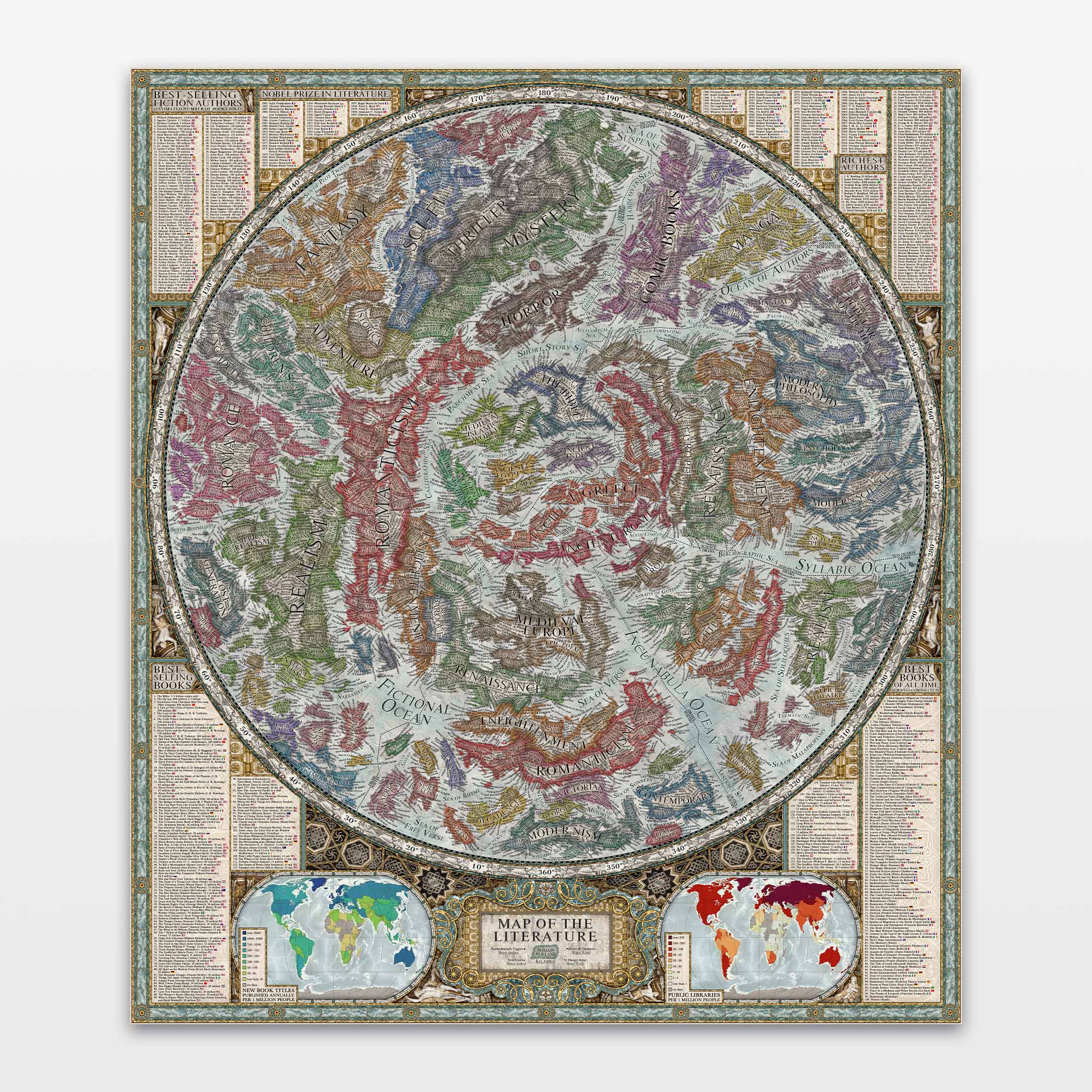
Map of the Literature
Sale priceFrom $120.00
(4.9)
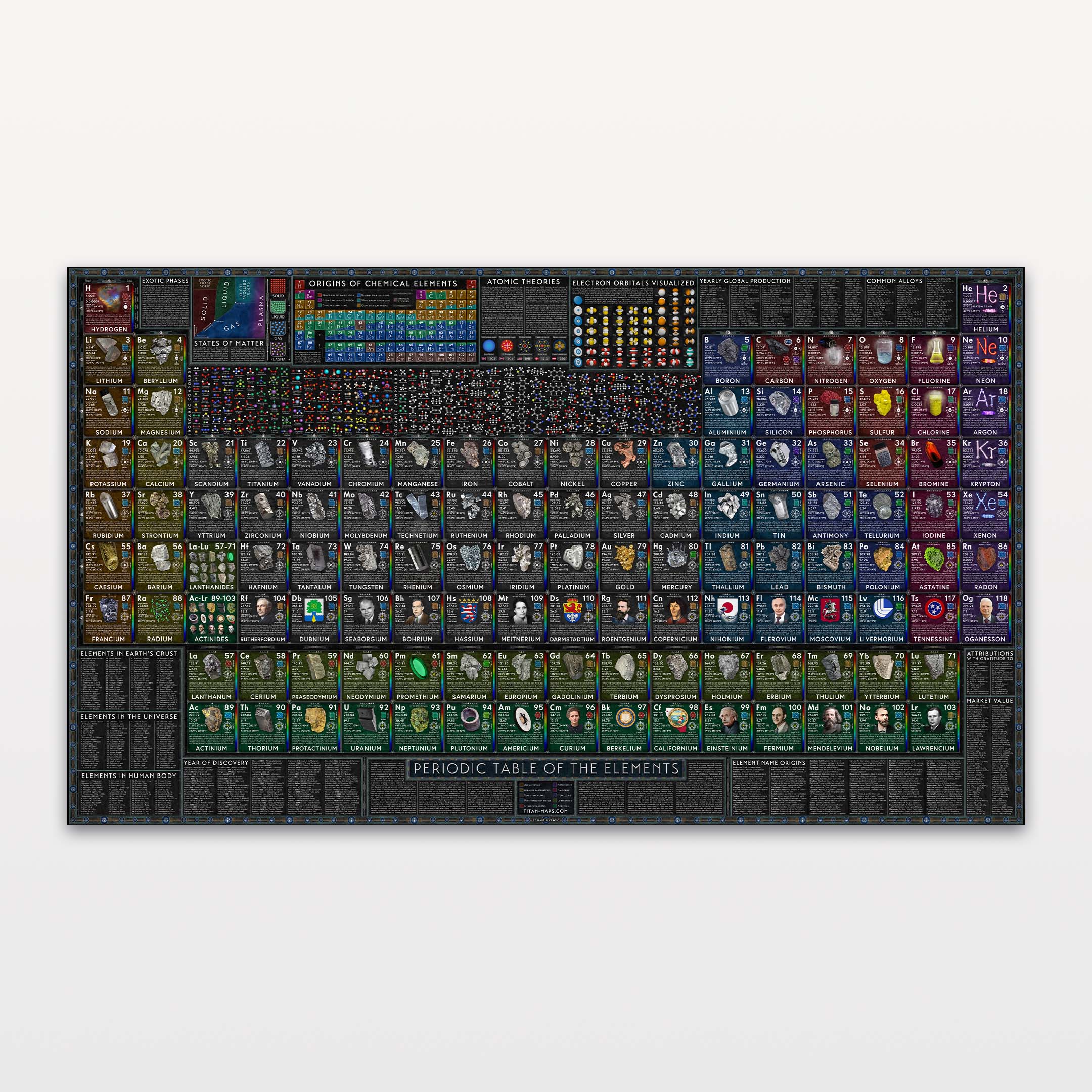
World of Elements
Sale priceFrom $130.00
(4.8)
New

Titan Maps

The World

Physical and Political Map · Winkel Tripel Projection, Central Meridian 0°
2026 Edition

The most detailed map of the world ever created for a wall.

  • Cartography by Martin Vargic
  • Museum-quality materials
  • Worldwide shipping
  • 100-day returns

The numbers

A map you cannot finish looking at.

The detail is measurable. Here is what you will find across the main map and its surrounding atlas.

10,000+place names and labels
4,000+cities, towns and settlements
2 yearsof research and cartography
6additional global data maps
2dedicated polar projections

Proof

Don’t take our word for it.

Drag to pan, scroll or pinch to zoom, and keep going until you find something you didn’t know was there.

Interactive view of The World map

Magnification 1.0×Whole sheetPreview

Regions

Curiosities

What is mapped

A political, physical and ocean map in one.

The World brings its borders, terrain, settlements, oceans and global reference data together on one sheet.

The political world, represented honestly.

47° N · 8° E · Switzerland

The political world, represented honestly.

The World maps countries and territories in their full political context, including dependencies, disputed borders and de-facto states. More than 4,000 cities, towns and settlements reveal the human geography within them.

Details most maps leave out

  • Every country given its own distinct colour
  • Settlement labels scaled in proportion to population
  • Dependencies, disputed territories and de-facto states named
The physical world beneath the borders.

80° S · 135° W · Rockefeller Plateau

The physical world beneath the borders.

Hand-shaped relief, mountains, rivers, lakes, glaciers, salt flats and atolls coexist with political geography, making countries feel like places rather than coloured shapes.

Details most maps leave out

  • Mountain peaks named with their elevations
  • Rivers, lakes and major landforms drawn across borders
  • Atolls, reefs, marshes, salt flats and glaciers treated as distinct features
Oceans are not empty blue.

7° N · 151° E · Micronesia

Oceans are not empty blue.

Bathymetry is shaded and named with the same seriousness as terrain on land. Currents reveal movement above the ridges, basins and trenches beneath them.

Details most maps leave out

  • Warm and cold currents traced across every ocean
  • Trenches, ridges, basins and fracture zones individually named
  • Seamounts, coral reefs and spot depths marked far from shipping lanes
An atlas built around the main map.

The map border · Global reference

An atlas built around the main map.

The surrounding border turns the composition into a compact world atlas, adding polar views, global data maps, flags and ranked reference panels without leaving the wall.

Details most maps leave out

  • Two dedicated polar projections
  • Six global maps covering tectonics, climate, population, development and temperature
  • Flags, country rankings, urban areas and languages arranged around the sheet

What’s inside

Nine maps, and everything around them.

The main world map is only the beginning. Pick any element and see it up close.

The main map

Winkel Tripel projection, hand-shaped relief, ocean-floor topography and full political labelling.

How it compares

Around 50% more labelled detail than a National Geographic Classic world map.

For generations National Geographic has set one of the great standards in world cartography. Martin began with those maps as an inspiration, then asked how much further a single sheet could go.

The World Africa comparison National Geographic Classic Africa comparison National Geographic ClassicNatGeo ClassicThe World

Both images show the same area at a comparable printed scale, so you are comparing the maps themselves rather than digital zoom levels.

The World compared with a typical wall map
FeatureA typical wall mapThe World
Information depth×Primarily countries, capitals and major cities10,000+ labels, individually placed for clarity
Cities and settlements×A selective overview4,000+ cities, towns and settlements, with a clear population hierarchy
Physical geography×Terrain and major featuresRelief, rivers, lakes, peaks, glaciers, salt flats, marshes, atolls and reefs
The oceans×Mostly open blue with major namesBathymetry, currents, trenches, ridges, basins, fracture zones, peaks and deeps
Political geography×Borders commonly simplified2026 edition with de-facto boundaries, disputed and partially recognized territories
Built-in atlas×Usually one main mapTwo polar views and six thematic maps, plus flags and global rankings
Design and readability×Often optimized for either reference or décorDesigned as beautiful wall art and a readable educational atlas
Authorship×Compiled for broad reference or decorationOne cartographer, nearly two years of research, drawing and hand placement
Made for your wall×Mostly fixed poster sizesMuseum-quality posters and custom full-wall murals

Image comparison uses the National Geographic Classic World Map and Titan Maps The World. The table summarizes conventional decorative and reference wall maps as a category; individual products vary.

The cartographer

Two years. One pair of hands.

In an era when a map can be generated in seconds, every one of these ten thousand labels was placed by a person who decided where it should go.

Martin Vargic working on The World map
Portrait of Martin Vargic Martin Vargic drawing The World by hand

Martin Vargic

Slovak cartographer and illustrator Martin Vargic is the author of Vargic’s Miscellany of Curious Maps. The World is the culmination of more than a decade spent refining how an entire planet can live on a single sheet.

For nearly two years, Martin researched, drew, corrected and arranged the map by hand, making thousands of individual decisions about what to include and how every label should read.

Created by a human cartographer. Not generated by AI.

Martin’s maps have been featured by Forbes, The Guardian, National Geographic, Business Insider, Fast Company, SPACE.com and The Harvard Gazette.

In practice

What you’ll actually do with it.

Not wall art you stop noticing after a week. Four ways a map this detailed keeps earning attention.

Relive your travels

Relive your travels

Trace past journeys and rediscover the places tied to your memories, down to the island whose name you forgot.

Understand the world

Understand the world

Locate the places named in books, history, documentaries and the news, then see what actually surrounds them.

Explore together

Explore together

Give children and guests something they can investigate, discuss and learn from without being asked to.

Plan where to go next

Plan where to go next

Find unfamiliar regions, islands and coastlines worth putting on a list, especially the ones no itinerary ever suggests.

Scale

One map. Three viewing distances.

From across the room it is a beautiful world map. Walk closer and it becomes an atlas with thousands of discoveries.

The World map viewed at a different distance The World map viewed at a different distance The World map viewed at a different distance

Choose your format

A poster, or an entire wall.

The same work, made for two very different spaces. Choose the largest format your wall comfortably allows.

Popular as a gift Rolled or framed

The World: Poster

Rolled or framed

  • Available rolled or framed
  • 230 gsm museum heavyweight matte paper
  • Multiple sizes for different walls
Shop posters
Popular for homes and offices Made for entire walls

The World: Mural

Made for entire walls

  • Custom-sized to fit your wall
  • Traditional or self-adhesive material
  • Maximum readability with room-transforming impact
Design your mural

From owners of Martin Vargic’s maps

It completely tied my reading room together and became the perfect piece of art I didn’t even realize the space was missing.

Poolak · Verified buyer

Absolutely beautiful, no other comes close. … A beautiful item that will adorn any wall, and become a talking point and focus of interest.

Graham · Verified buyer

It's printed on very high quality heavy stock and shipped in a tube that kept it perfect!

Gary F. · Verified buyer

This print is amazing: informative, colorful, high quality

Sarah · Verified buyer

Before you choose

The questions that matter.

What makes The World different from an ordinary world map?

The World is designed to be the most detailed map of the world ever created for a wall. It combines more than 10,000 labels and 4,000 settlements with political geography, physical relief, ocean-floor detail and a built-in atlas. Its hand-built visual hierarchy keeps the information readable up close while the full composition remains beautiful wall art from across the room.

Is a map this detailed actually readable?

Yes. The hierarchy was built by hand so the map reads in layers: countries and major geography from across the room, then cities, terrain, ocean features and smaller places as you move closer. The larger the format, the more comfortably its finest labels can be explored.

How accurate and current is it?

This is the 2026 edition. It draws on Natural Earth and NASA datasets, then goes further by researching contemporary borders, dependencies, disputed territories and de-facto states. The Winkel Tripel projection keeps whole-world distortion balanced, while every label was checked and placed by hand.

Is it wall art or a serious reference map?

Both. That combination is the point. From across the room it is a balanced, richly coloured portrait of the planet. Up close it becomes a working atlas you can use for travel memories, books, history, current events and discoveries you were not looking for.

Was The World created with AI?

No. The World was created by a human cartographer, not generated by AI. Martin Vargic spent nearly two years researching, drawing, correcting and arranging it, including the placement of more than 10,000 individual labels.

What formats can I choose?

The World is available as a museum-quality poster, either rolled or framed, and as a custom-sized full-wall mural. The artwork is the same; the mural simply gives its smallest details more room to breathe.

What is it printed on?

Posters are printed on heavyweight 230 gsm matte fine-art paper with fade-resistant archival inks. Framed versions use real pine frames with UV-protective plexiglass; murals are available in traditional and self-adhesive materials.

Where do you ship, and how long does delivery take?

We ship worldwide with tracking. Most poster orders arrive within 3–12 business days including production, with express delivery available. Exact timing and cost for your destination are shown at checkout.

What if it isn’t right for my wall?

Your order is covered by the Titan Guarantee: return it within 100 days for a full refund in original condition; return shipping may apply. If it arrives damaged or with a production defect, contact us within 14 days and we will arrange a replacement or refund.

Available now

Own the best version of a world map.

Nearly two years of work, ten thousand labels, and a wall that finally has something worth walking up to.

The WorldPoster or custom wall mural
Choose format